Coastal protection management, Pärnu Bay, Estonia
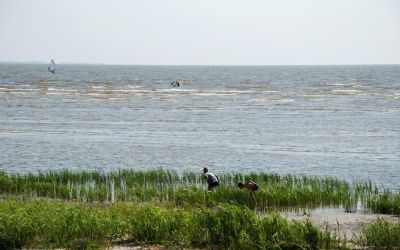
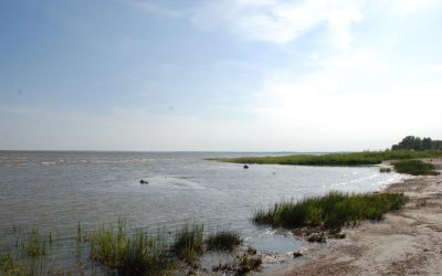
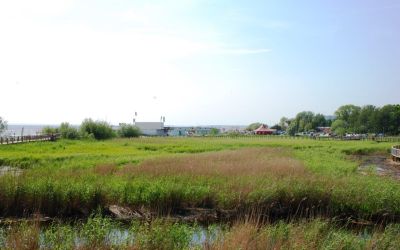
The Pärnu Bay, Estonia, is a part of the Gulf of Riga. Located in the NE top of the gulf, it is exposed to westerly winds, waves and storm surges. The area includes a shallow basin and low-lying coast, the inlet of the Pärnu River, Pärnu city (nearly 50,000 inhabitants) with an important trade harbour and marina, sandy beaches with dunes on both sides of the city (important for recreation) and Audru Polder which is separated from the sea by a narrow system of dunes and dams. Sea-level rise will cause a strong spatial re-distribution of sand. A SAF shall tackle three main problems: (1) how to minimize the damages that might be caused by future extreme storm events and concurrent inundations; (2) how to assure a secure functioning of the local port in the conditions of increasing siltation of the navigation channel and (3) how to avoid the formation of coastal squeeze in the city and assure resilient coastal communities outside the city. The scenarios include the construction of a ridge of artificial dunes using the sand eroded from the adjacent areas. Modelling is used both in studying hydrodynamic processes in the bay and shore processes in the coastal zone. Socio-economic studies analyse costs and acceptance among local stakeholders.
CCS Pärnu Bay kick-off presentation
CCS Pärnu Bay issue identification